The map represents annual precipitations average for Idaho State. The map is based on “Introduction to Geographic Information System” book CD data. To generate the map was use Inverse Distance Weighted algorithm.

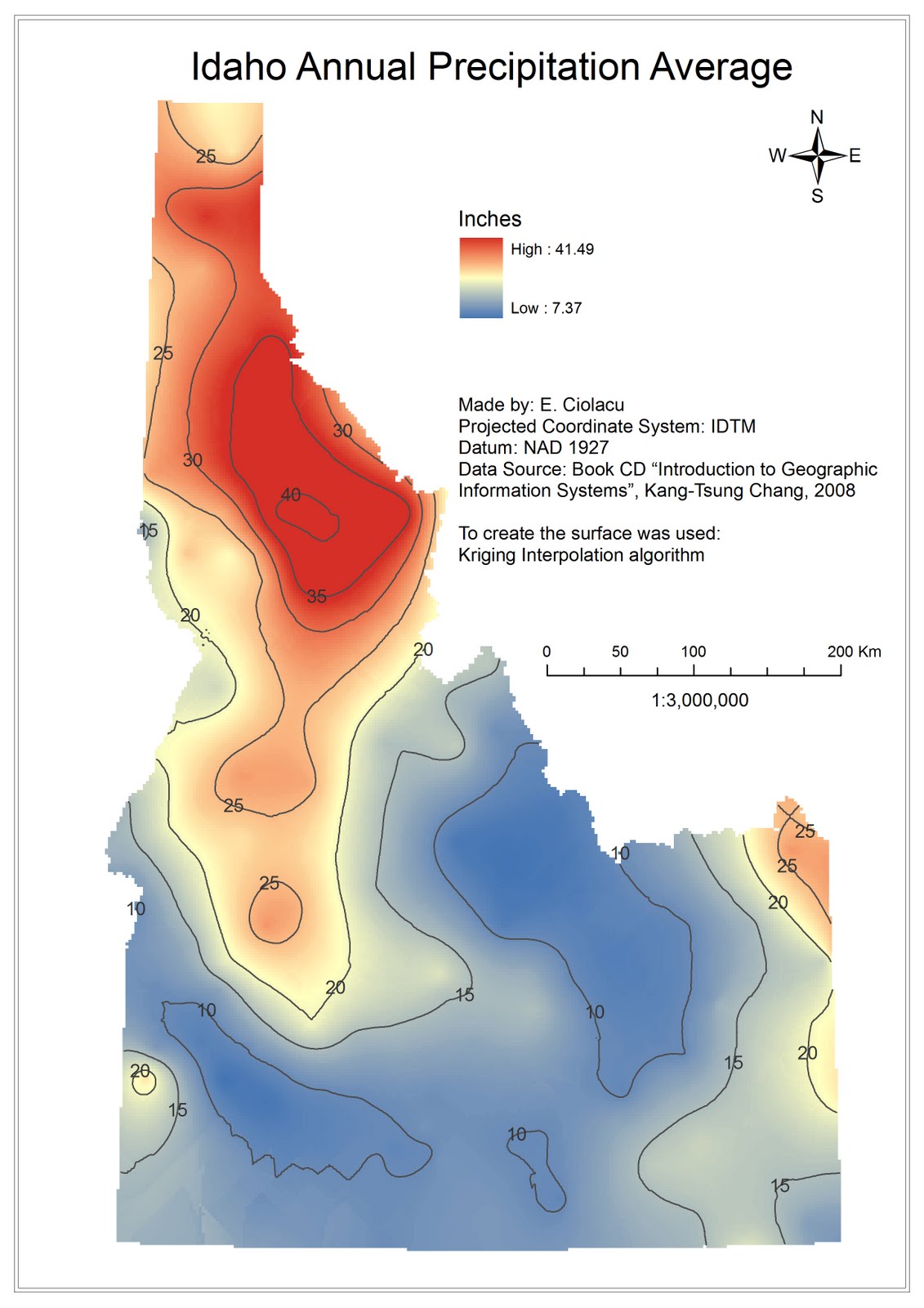
The map represents annual precipitations average for Idaho State. The map is based on “Introduction to Geographic Information System” book CD data. To generate the map was use Kriging algorithm.

No comments:
Post a Comment